Gifting Made Simple
Give the Gift of ChoiceClick below to purchase a St. Laurent Shopping Centre eGift Card that can be used at participating retailers at St. Laurent Shopping Centre.Purchase HereHome
Children's Illustrated World Atlas - English Edition
Toys 'R' Us
Loading Inventory...

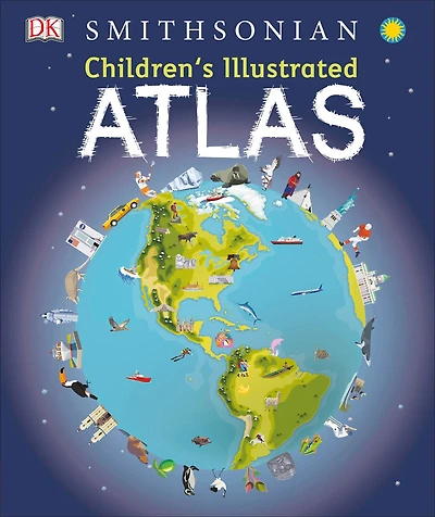
Children's Illustrated World Atlas - English Edition
By DK Books
Current price: $24.50
Toys 'R' Us
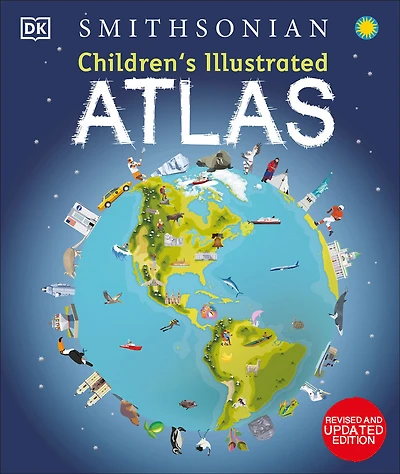
Children's Illustrated World Atlas - English Edition
By DK Books
Current price: $24.50
Loading Inventory...
*Product information may vary - to confirm product availability, pricing, shipping and return information please contact Toys 'R' Us
Take young readers on the ultimate round-the-world trip with this impressive atlas - packed full of beautiful illustrations and photographs.
Discover the world map-by-map with this exciting world atlas book for children, featuring more than 50 maps! Each page is filled with fascinating information, facts and colorful illustrations of our world.
Children aged 9-12 will love to learn all about the many countries, cultures and people of the world through vibrant maps. Fascinating facts, local stories, vivid pictures, and clear, satellite-based maps together make this atlas a global yet personal experience for young readers.
This illustrated atlas book for children offers:
- Bite-sized information giving the profiles, facts, stats and flags of every country.
- Pictures and stories explaining the society, culture and history of each region.
- Maps created using satellite imagery providing a clear view of the world map-by-map.
- A variety of topics covered, including population density, wealth, and internet access shown through graphics.
From Bangkok's floating markets to the carnival in Venice, the Children's Illustrated World Atlas brings together views from windows all over the world. This illustrated atlas not only portrays regions, such as the Siberian wastes, with beautifully detailed maps but also describes the peoples who live there.