Gifting Made Simple
Give the Gift of ChoiceClick below to purchase a St. Laurent Shopping Centre eGift Card that can be used at participating retailers at St. Laurent Shopping Centre.Purchase HereHome
Children's Illustrated Atlas - English Edition
Toys 'R' Us
Loading Inventory...
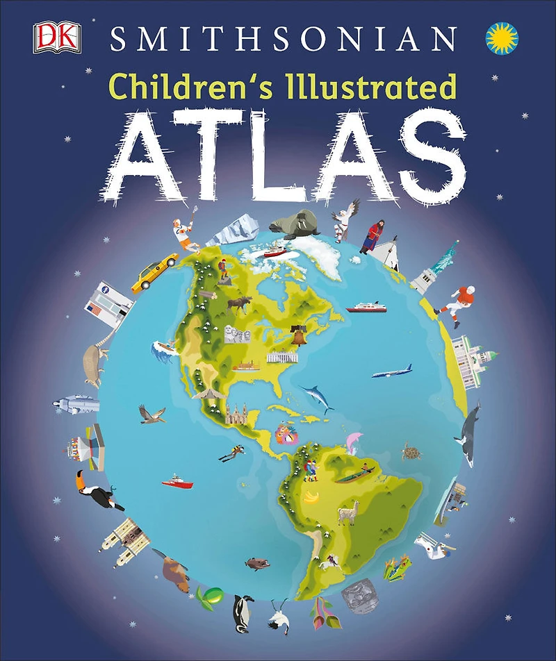
Children's Illustrated Atlas - English Edition
By Random House
Current price: $24.99
Toys 'R' Us
Children's Illustrated Atlas - English Edition
By Random House
Current price: $24.99
Loading Inventory...
*Product information may vary - to confirm product availability, pricing, shipping and return information please contact Toys 'R' Us
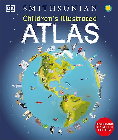
A picture atlas that takes young readers on a visual journey around the world, from Spain and Portugal to China and Mongolia.
Continents and countries are brought to life through stunning photography and eye-catching illustrations. Uncover incredible geographical features, wildlife, culture, history, and landmarks in unprecedented detail.
This incredible and inspiring visual atlas takes you on a fact-filled, continent-by-continent tour of the world. Throughout the pages of this adventure book, you'll discover more than 50 fascinating maps packed with fun facts and fresh images. Your child will learn all about the climate, populations, places, and industries of our world.
Picture stories complement the maps, from the giant Amazon River flowing through the rainforest to the frozen icebergs of the glacial Arctic. Discover the richness and diversity of human and animal life around the globe. Each map shows countries with their capitals, famous landmarks, longest rivers, and highest mountains.
This educational book is more than an atlas! It also shows young explorers how to read a map and use a key, compass, and scale. It's the ideal resource for classroom use, home learning, and armchair exploration.
The Ultimate Round-The-World Trip.
Children's Illustrated Atlasis the perfect reference book for kids to learn about lands close to home or oceans far away! It's also a fantastic gift for children with an interest in the world around them and a taste for adventure.
Without even leaving your home, this children's atlas book allows you to:
· Explore more than 50 stunning world maps and incredible geographical features.
· Learn how to read a map and use a key, compass, and scale.
· Travel the world's cities and landmarks through beautiful photography and illustrations.
· Dive into intriguing facts about the world's population.
Complete the Series:
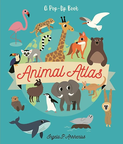
Charming and informative, theChildren's Illustrated Atlasseries from DK Books is a delightful addition to every child's library. Bring the amazing world of wildlife right into your home with theChildren's Illustrated Animal Atlasand reach into the past with theChildren's Illustrated History Atlas.
Author - DK
Number of Pages - 128
Format - Hardcover
Publisher - DK.
Published - 2016-08-16
A picture atlas that takes young readers on a visual journey around the world, from Spain and Portugal to China and Mongolia.
Continents and countries are brought to life through stunning photography and eye-catching illustrations. Uncover incredible geographical features, wildlife, culture, history, and landmarks in unprecedented detail.
This incredible and inspiring visual atlas takes you on a fact-filled, continent-by-continent tour of the world. Throughout the pages of this adventure book, you'll discover more than 50 fascinating maps packed with fun facts and fresh images. Your child will learn all about the climate, populations, places, and industries of our world.
Picture stories complement the maps, from the giant Amazon River flowing through the rainforest to the frozen icebergs of the glacial Arctic. Discover the richness and diversity of human and animal life around the globe. Each map shows countries with their capitals, famous landmarks, longest rivers, and highest mountains.
This educational book is more than an atlas! It also shows young explorers how to read a map and use a key, compass, and scale. It's the ideal resource for classroom use, home learning, and armchair exploration.
The Ultimate Round-The-World Trip.
Children's Illustrated Atlasis the perfect reference book for kids to learn about lands close to home or oceans far away! It's also a fantastic gift for children with an interest in the world around them and a taste for adventure.
Without even leaving your home, this children's atlas book allows you to:
· Explore more than 50 stunning world maps and incredible geographical features.
· Learn how to read a map and use a key, compass, and scale.
· Travel the world's cities and landmarks through beautiful photography and illustrations.
· Dive into intriguing facts about the world's population.
Complete the Series:
Charming and informative, theChildren's Illustrated Atlasseries from DK Books is a delightful addition to every child's library. Bring the amazing world of wildlife right into your home with theChildren's Illustrated Animal Atlasand reach into the past with theChildren's Illustrated History Atlas.
Author - DK
Number of Pages - 128
Format - Hardcover
Publisher - DK.
Published - 2016-08-16